
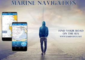
Marine Navigation v4.0.2
A tracker offline and GPS route planner easy to use with offline maps worldwide.
Wherever you are: the sea, rivers or lakes, it will help you find your way.
Not just an application but an affordable tool for navigation, fishing and sailing.
National Oceanic and administrative Atmospheric Administration (NOAA), Maritime use bathymetric
NZMariner is the name of the official product (Raster graphics navigation) RNC New Zealand
Esri created and released a new comprehensive map of the world’s oceans and coastal areas
Sea Map is the first open source map to the sea, with ports, the sea light and more.
+ Interactive map
+ 4000 seaports
+ active pointer
+ Create, manage and delete route / waypoints
+ Tracking path
+ Image Sharing
+ Anchor Alert
For More Info Google Play
Supported Android
{4.0 and UP}
Supported Android Version:-
Ice Cream Sandwich (4.0–4.0.4)- Jelly Bean(4.1–4.3.1)- KitKat (4.4–4.4.4)- Lollipop (5.0–5.0.2) or UP
Download Marine Navigation 4.0.2 APK For Android